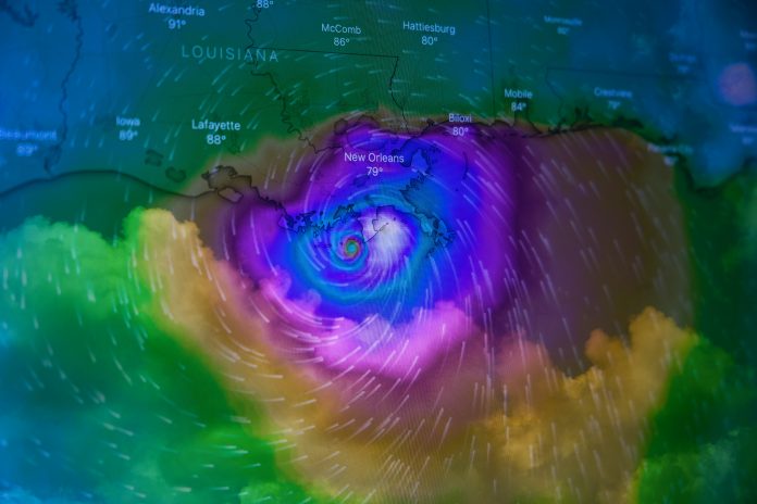
Verisk, a global data analytics provider, has partnered with Vexcel Data Program, the world’s largest aerial imagery programme, to help insurers accelerate their response to the widespread property damage caused by Hurricane Ian.
Vexcel, on behalf of its partner Geospatial Insurance Consortium (GIC), is deploying multiple fixed-wing aircraft with market-leading cameras to collect high-resolution aerial imagery.
Vexcel’s disaster imagery is integrated into Verisk’s Respond MAP platform, which delivers five-day hurricane wind forecasts and leverages artificial intelligence, geospatial technology, and robust property and claims data to analyse damage.
The interactive platform helps insurers identify affected properties, assess the extent of damage, and manage on-site inspections.
Maroun Mourad, president of claims solutions at Verisk, said, “Recovering from the enormous destruction of Hurricane Ian will be a long journey. But with pre- and post-hurricane aerial imagery from Vexcel and our advanced geospatial and property analytics, we’re able to help insurers identify damage, connect with victims, and begin the road to recovery.”
Erik Jorgensen, CEO of Vexcel Group, added, “The damage from Hurricane Ian is vast, but can vary significantly by property. Our high-definition aerial imagery and world-class processing pipeline is helping Verisk provide real-time analytics to help guide and streamline the response of insurers to this catastrophe.”
Earlier this year, Verisk launched the web-based weather and analytics solution to allow insurers, first responders, and supply chain logistics operators to analyse the impact of severe weather more effectively.
Verisk’s Respond mapping and analytics platform, Respond MAP, enables users to combine valuable weather data with locations of interest, such as policies-in-force, to quickly evaluate the impact of significant weather events. The solution provides critical insights for perils such as hail, wind, wildfire, tornado and hurricane. Respond MAP is included as part of the Respond weather data package.
Respond MAP also offers users the ability to view both pre-catastrophe and post-catastrophe imagery.
Copyright © 2022 FinTech Global


